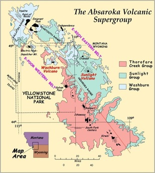
As reviewed in the page about Granite Peak, the Laramide Orogeny was a massive mountain building event that is largely responsible for the creation of the Beartooth Mountains. This holds true for the initial Absaroka Mountains as well, where Pilot Peak is located. Around 53 million years ago, towards the end of this orogeny, all of the tectonic movement caused crustal expansion. This opened the flood gates, or lava gates, to all kinds of volcanic activity. Strata and shield volcanoes dumped over 80 cubic kilometers of volcanic material over the course of millions of years during the Eocene. The system of volcanoes that was created by this crustal expansion is called the Absaroka Volcanics. The volcanic rocks that originated from these eruptions can be classified as andesitic volcanic and volcaniclastic rocks (T. Beers, T. Berndt 2009).
Map Showing Pilot Peak (circled in blue)
Photo courtesy of beartoothhighway.com
Map of Absaroka Volcanics
Photo courtesy of the Carlton College Science Education Resource Center
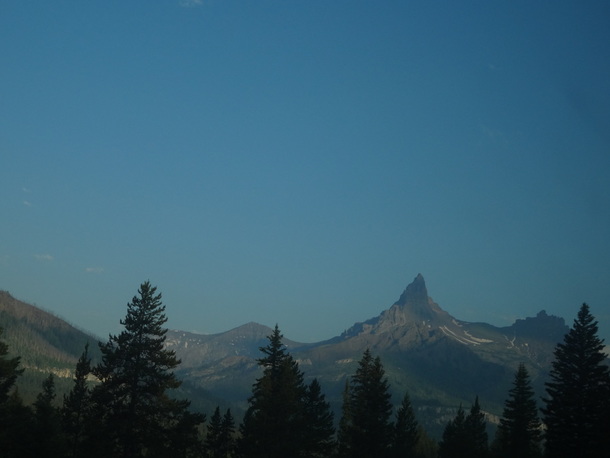
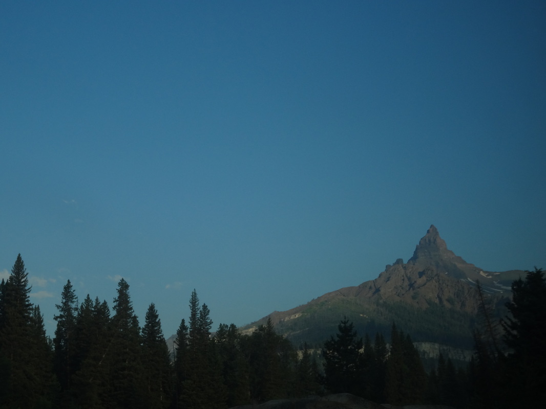
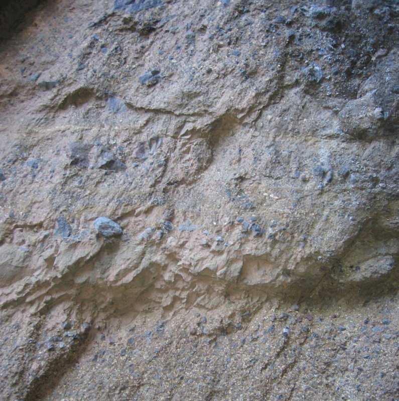
Pilot Peak, located south of Cooke City, is partially composed of these volcanic rocks, with alternating bands of ash deposits and breccia. These rocks found range from having a clastic, rough texture to a smooth ashy appearance. Pilot Peak's signature pointy appearance is due to a force from the other end of the natural spectrum. Around 18,000 years ago, during the Pleistocene epoch when the ice age reached its maximum advance of glaciation, a large portion of the North American continent was covered in ice. Pilot Peak got its signature horn from alpine glaciers and cirques carving away at opposite sides of the mountain.